|
©The Archaeological Settlements of Turkey - TAY Project
|
|
|
|
|
|
Maltepesi |
|
|
For site maps and drawings please click on the picture...  |
For photographs please click on the photo... 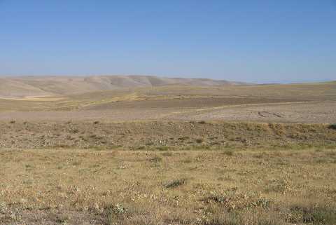 |
|
Type:
|
Mound |
|
Altitude:
|
1260 m |
|
Region:
|
Aegean |
|
Province:
|
Afyonkarahisar |
|
District:
|
Bolvadin |
|
Village:
|
Büyükkarabag |
|
Investigation Method:
|
Survey |
|
Period:
|
|
|
|
|
 |
|
| It lies 700 m north of the village of Maltepe; 2 km south of Kadiköy; 5 km east of Büyükkarabağ village of Bolvadin district of Afyon province. It is located 50 m south of Büyükkarabağ-Bademli gravel road; 50 m west of Büyük Maltepe location and immediately east of Kale mevkii. The settlement is destructed by agricultural activities. Maltepesi consists of three small hills connected to each other. The largest one lies to the north and measures 400x400x50 m. The second hill to the southwest measures 200x150x15m. The third one to the south measures 300x200x10 m. The pottery sherds belonging Chalcolithic and EBA are neatly made. It takes place in the registered archaeological sites list prepared by Ministry of Culture and Tourism. |
| Location: |
| Geography and Environment: |
| History: |
| Research and Excavation: |
| Stratigraphy: |
| Small Finds: |
| Remains: |
| Interpretation and Dating: |