|
©The Archaeological Settlements of Turkey - TAY Project
|
|
|
|
|
|
Bekirli 2 |
|
|
For site maps and drawings please click on the picture...  |
For photographs please click on the photo... 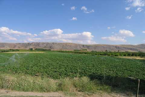 |
|
Type:
|
Mound |
|
Altitude:
|
810 m |
|
Region:
|
Aegean |
|
Province:
|
Denizli |
|
District:
|
Çivril |
|
Village:
|
Bekirli |
|
Investigation Method:
|
Survey |
|
Period:
|
EBA II |
|
|
|
 |
|
| It is located on the western bank of the Menderes River; 2.3 km northeast of Bekirli (Beyerli) Village; 13.5 km southeast of Çivril District; northeast of Denizli Province. This location and the mound are locally known as Sandikiçi. It is indicated lo be located in the curves of the river in the 1:200.000 map published in 1937 while the curve is repositioned by forming a meander and the mound is left on the southern bank in the 1:250.000 map. It was discovered by J. Mellaart. It is an EBA II settlement. It is located on the southwestern part of the mound called Bekirli I. It is one of the four sites settled in parallel to the stream. |
| Location: |
| Geography and Environment: |
| History: |
| Research and Excavation: |
| Stratigraphy: |
| Small Finds: |
| Remains: |
| Interpretation and Dating: |