|
©The Archaeological Settlements of Turkey - TAY Project
|
|
|
|
|
|
Sinnep Höyük (North) |
|
|
For site maps and drawings please click on the picture...  |
For photographs please click on the photo... 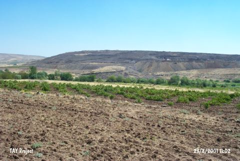 |
|
Type:
|
Mound |
|
Altitude:
|
700 m |
|
Region:
|
Southeastern Anatolia |
|
Province:
|
Kilis |
|
District:
|
Merkez |
|
Village:
|
Acar |
|
Investigation Method:
|
Survey |
|
Period:
|
|
|
|
|
 |
|
| The mound lies in Degirmensuyu Location; 6 km southeast of Acar village and 2 km west of Gaziantep-Kilis motorway. It is located on the skirts of natural hills and there is Kumludere stream in north direction and the stream called Sinnep Suyu passes between the hills south of the mound. It has a height of 14-15 m and its skirt has been damaged paretically. The site has been discovered by a team conducted by E. Özgen in 2000. Pottery sherds collected from the mound are dated to Late Chalcolithic; EBA; MBA; LBA; Iron Age and Late Roman Period. It takes place in the registered archaeological sites list prepared by Ministry of Culture and Tourism. |
| Location: |
| Geography and Environment: |
| History: |
| Research and Excavation: |
| Stratigraphy: |
| Small Finds: |
| Remains: |
| Interpretation and Dating: |