|
©The Archaeological Settlements of Turkey - TAY Project
|
|
|
|
|
|
Yavuzlu |
|
|
For site maps and drawings please click on the picture...  |
For photographs please click on the photo... 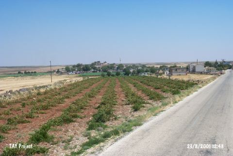 |
|
Type:
|
Mound |
|
Altitude:
|
670 m |
|
Region:
|
Southeastern Anatolia |
|
Province:
|
Kilis |
|
District:
|
Merkez |
|
Village:
|
Yavuzlu |
|
Investigation Method:
|
Survey |
|
Period:
|
|
|
|
|
 |
|
| The site is located in Yavuzlu village on Kilis-Elbeyli motorway. There are houses on all over the mound starting from the slopes. The site overlooks the plain and roughly 150 m in diameter; 20 m in height. It has been discovered by a team conducted by E. Özgen in 2000. Pottery sherds collected from the surface are dated to Late Chalcolithic; EBA and Hellenistic/Roman Period. Addition to these remains of a basalt fortification wall has been seen at the slopes of the mound. It takes place in the registered archaeological sites list prepared by Ministry of Culture and Tourism. |
| Location: |
| Geography and Environment: |
| History: |
| Research and Excavation: |
| Stratigraphy: |
| Small Finds: |
| Remains: |
| Interpretation and Dating: |