|
©The Archaeological Settlements of Turkey - TAY Project
|
|
|
|
|
|
Yavuzlu |
|
|
For site maps and drawings please click on the picture...  |
For photographs please click on the photo... 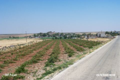 |
|
Type:
|
Mound |
|
Altitude:
|
670 m |
|
Region:
|
Southeastern Anatolia |
|
Province:
|
Kilis |
|
District:
|
Merkez |
|
Village:
|
Yavuzlu |
|
Investigation Method:
|
Survey |
|
Period:
|
|
|
|
|
 |
|
| The site is located in Yavuzlu village on Kilis-Elbeyli motorway. There are houses on all over the mound starting from the slopes. The site overlooks the plain and roughly 150 m in diameter; 20 m in height. It has been discovered by a team conducted by E. Özgen in 2000. Pottery sherds collected from the surface are dated to Late Chalcolithic; EBA and Hellenistic/Roman Period. Addition to these remains of a basalt fortification wall has been seen at the slopes of the mound. The mound is locally known as Tilhabes and it was named Sinnep Höyük (South) by Özgen. It takes place in the registered archaeological sites list prepared by Ministry of Culture and Tourism. |
| Location: |
| Geography and Environment: |
| History: |
| Research and Excavation: |
| Stratigraphy: |
| Small Finds: |
| Remains: |
| Interpretation and Dating: |