|
©The Archaeological Settlements of Turkey - TAY Project
|
|
|
|
|
|
Kinet Höyük |
|
|
For site maps and drawings please click on the picture... 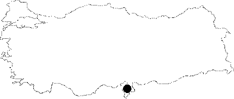 |
For photographs please click on the photo...  |
|
Type:
|
Mound |
|
Altitude:
|
m |
|
Region:
|
Mediterranean |
|
Province:
|
Hatay |
|
District:
|
Dörtyol |
|
Village:
|
Yesil |
|
Investigation Method:
|
Excavation |
|
Period:
|
|
|
|
|
 |
|
| The site lies in the village of Yesil to the northwest of Dörtyol; 30 km north of Iskenderun. It is located on the eastern shore of Iskenderun Gulf; 500 m from the sea. It extends in an area of 3.3 ha and it is 26 m in height. Deliçay Stream flows to the south of it. The first archaeological excavations were started in 1992 by Hatay Museum. The settlement is being excavated under the directorship of M.H. Gates from Bilkent University; Department of Archaeology and History of Art since 1993. The Medieval researches have been carried out by S.N. Redford from the University of Georgetown; USA. It is reported that the mound was inhabited from the Late Neolithic to the Middle Age. In 1997 season sherds identified as Late Halaf and dated to 5000-4500 BC were recovered. It is listed in the registered archaeological preservation zones inventory prepared by the Ministry of Culture and Tourism. |
| Location: The site lies in the village of Yesil to the northwest of Dörtyol; 30 km north of Iskenderun. It is located on the eastern shore of Iskenderun Gulf; 500 m from the sea. |
| Geography and Environment: Deliçay Stream flows to the south of it. It extends in an area of 3.3 ha and it is 26 m in height. |
| History: |
| Research and Excavation: |
| Stratigraphy: |
| Small Finds: |
| Remains: |
| Interpretation and Dating: |