|
©The Archaeological Settlements of Turkey - TAY Project
|
|
|
|
|
|
Belem Höyük |
|
|
For site maps and drawings please click on the picture...  |
For photographs please click on the photo... 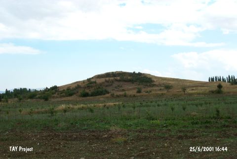 |
|
Type:
|
Mound |
|
Altitude:
|
880 m |
|
Region:
|
Mediterranean |
|
Province:
|
Antalya |
|
District:
|
Korkuteli |
|
Village:
|
Yesilyayla |
|
Investigation Method:
|
Survey |
|
Period:
|
EBA II |
|
|
|
 |
|
| It lies on the Korkuteli Plain; east of Belem quarter of Yesilyayla Village; north of Korkuteli District of Antalya Province. It was discovered by J. Mellaart. Sherds of EBA II were collected from the surface. J. Mellaart has displaced the findspots of Yelten and Belem in his map. It is not included in the 1:200.000 map. |
| Location: |
| Geography and Environment: |
| History: |
| Research and Excavation: |
| Stratigraphy: |
| Small Finds: |
| Remains: |
| Interpretation and Dating: |