|
©The Archaeological Settlements of Turkey - TAY Project
|
|
|
|
|
|
Halkapinar |
|
|
For site maps and drawings please click on the picture...  |
For photographs please click on the photo... 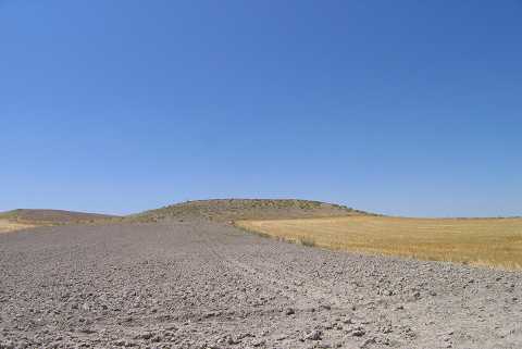 |
|
Type:
|
Mound |
|
Altitude:
|
1060 m |
|
Region:
|
Aegean |
|
Province:
|
Afyonkarahisar |
|
District:
|
Çay |
|
Village:
|
Karamikkaracaören |
|
Investigation Method:
|
Survey |
|
Period:
|
|
|
|
|
 |
|
| It is on the northwestern bank of Kaliçay Stream; northwest of the village of Karamikkaracaören; southwest of Çay; southeast of Afyonkarahisar. It is a large and high mound with the appearance of a natural hill. The site was observed and documented during TAYEx 2004 [TAYEx 24.7.2004]. |
| Location: |
| Geography and Environment: |
| History: |
| Research and Excavation: |
| Stratigraphy: |
| Small Finds: |
| Remains: |
| Interpretation and Dating: |