|
©The Archaeological Settlements of Turkey - TAY Project
|
|
|
|
|
|
No Name (Sereflikoçhisar / Yusufkuyusu) |
|
|
For site maps and drawings please click on the picture...  |
For photographs please click on the photo... 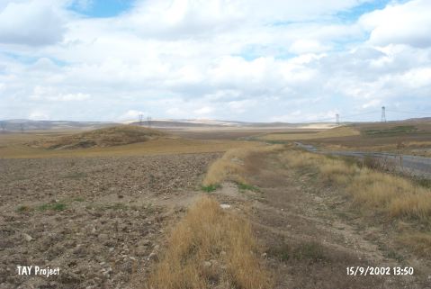 |
|
Type:
|
Mound |
|
Altitude:
|
1010 m |
|
Region:
|
Central Anatolia |
|
Province:
|
Ankara |
|
District:
|
Sereflikoçhisar |
|
Village:
|
Yusufkuyusu |
|
Investigation Method:
|
Survey |
|
Period:
|
|
|
|
|
 |
|
| It is a round mound in the vicinity of Yusufkuyusu Village; northwest of Sereflikochisar District of Ankara Province. Approximately 100 m east-northeast of the mound stands the mound named as Karakuyu 2 and 50 m east is the road to village. It has been observed and documented during TAYEx 2002 Central Anatolia region [TAYEx 15.9.2002]. |
| Location: |
| Geography and Environment: |
| History: |
| Research and Excavation: |
| Stratigraphy: |
| Small Finds: |
| Remains: |
| Interpretation and Dating: |