|
©The Archaeological Settlements of Turkey - TAY Project
|
|
|
|
|
|
Pasa Höyük |
|
|
For site maps and drawings please click on the picture...  |
For photographs please click on the photo... 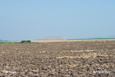 |
|
Type:
|
Mound |
|
Altitude:
|
170 m |
|
Region:
|
Mediterranean |
|
Province:
|
Hatay |
|
District:
|
Reyhanli |
|
Village:
|
Pasaköy |
|
Investigation Method:
|
Survey |
|
Period:
|
|
|
|
|
 |
|
| It lies 1.6 km away from Acarköy Village; east of Pasaköy Village of Reyhanli District; east of Hatay Province. South of the mound passes the road between Pasaköy and Mastepe. The top hill look like a mushroom because of the profile traveling the contour of the mound. It was observed and documented during TAYEx 2001 Mediterranean region. It takes place in the registered archaeological sites list prepared by Ministry of Culture and Tourism. |
| Location: |
| Geography and Environment: |
| History: |
| Research and Excavation: |
| Stratigraphy: |
| Small Finds: |
| Remains: |
| Interpretation and Dating: |