|
©The Archaeological Settlements of Turkey - TAY Project
|
|
|
|
|
|
Anberinharki |
|
|
For site maps and drawings please click on the picture...  |
For photographs please click on the photo... 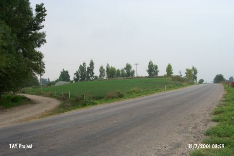 |
|
Type:
|
Mound |
|
Altitude:
|
110 m |
|
Region:
|
Mediterranean |
|
Province:
|
Osmaniye |
|
District:
|
Kadirli |
|
Village:
|
Anberinarki |
|
Investigation Method:
|
Survey |
|
Period:
|
|
|
|
|
 |
|
| The mound lies quite close to Anberinharki Village; 4.5 km south of Kadirli District of Osmaniye Province. It has been bisected by Osmaniye-Kadirli motorway. It is located on the western bank of the Savron Stream. It is a medium-sized mound. Settlements of the 1st Millennium BC, and Roman Period are followed by a Middle Age settlement [Seton-Williams 1954:148]. |
| Location: |
| Geography and Environment: |
| History: |
| Research and Excavation: |
| Stratigraphy: |
| Small Finds: |
| Remains: |
| Interpretation and Dating: |