|
©The Archaeological Settlements of Turkey - TAY Project
|
|
|
|
|
|
Geçemey Höyük |
|
|
For site maps and drawings please click on the picture...  |
For photographs please click on the photo... 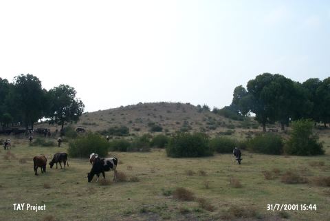 |
|
Type:
|
Mound |
|
Altitude:
|
70 m |
|
Region:
|
Mediterranean |
|
Province:
|
Osmaniye |
|
District:
|
Toprakkale |
|
Village:
|
Çatakli |
|
Investigation Method:
|
Survey |
|
Period:
|
|
|
|
|
 |
|
| It is a mound approximately 12 m high; located in the east of the Keçebey Farm; 2.3 km south of Çatakli Village. It was researched within the scope of "Adana (Ceyhan) and Kayseri (Develi) Surveys" performed by S. Girginer et al. in 2005. The mound's height diminished due to agricultural activities; and it was destructed because of illicit diggings. Pottery dating to Chalcolithic Age; Roman and Byzantine Periods were identified; besides three obsidian blades [Girginer 2007:178]. |
| Location: |
| Geography and Environment: |
| History: |
| Research and Excavation: |
| Stratigraphy: |
| Small Finds: |
| Remains: |
| Interpretation and Dating: |