|
©The Archaeological Settlements of Turkey - TAY Project
|
|
|
|
|
|
S 62/4 Telliban / Bozuk Köy |
|
|
For site maps and drawings please click on the picture...  |
For photographs please click on the photo... 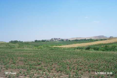 |
|
Type:
|
Mound |
|
Altitude:
|
710 m |
|
Region:
|
Southeastern Anatolia |
|
Province:
|
Siirt |
|
District:
|
Kurtalan |
|
Village:
|
Bozhöyük |
|
Investigation Method:
|
Survey |
|
Period:
|
|
|
|
|
 |
|
| It is situated in the Bozhöyük Village of the Kurtalan District in Siirt. It is 700 m far from the basin of the Garzan Brook. The Kuruka Stream flows to the south, and the Garzan Stream runs to the north of the mound. It is 15 m high with a diameter of 150 m. The entire settlement has been obscured by the modern village of Taliban (except for the northern section). Kurtalan-Batman motorway is to the south-southwest of the mound. It is completely surrounded by fertile fields. The northern part of the mound is a steep slope, and it has an irrigation canal. It was discovered during the Southeastern Anatolia Survey in 1963. It contains probably the plain ware belonging to the first half of the 1st Millennium BC, and a similar group of red coated, burnished and wheelmade ware (particularly seen at Nemrut, Tell Halaf's Kabara level, Amique phase O, Syro-Hittite level at Hama and Palestinian Early Iron Age II). |
| Location: |
| Geography and Environment: |
| History: |
| Research and Excavation: |
| Stratigraphy: |
| Small Finds: |
| Remains: |
| Interpretation and Dating: |