|
©The Archaeological Settlements of Turkey - TAY Project
|
|
|
|
|
|
Büyük Deliler Tepe |
|
|
For site maps and drawings please click on the picture... 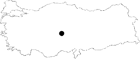 |
For photographs please click on the photo... 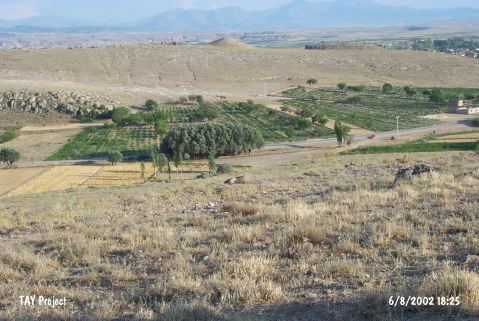 |
|
Type:
|
Workshop |
|
Altitude:
|
1220 m |
|
Region:
|
Central Anatolia |
|
Province:
|
Aksaray |
|
District:
|
Gülagaç |
|
Village:
|
Demirci |
|
Investigation Method:
|
Survey |
|
Period:
|
Ceramic |
|
|
|
 |
|
| This site lies west of the Demirci-Gülagaç highway; 800 m northeast of the Karasu River; 1.7 km north-northeast of the Demirci Sub-district; 3 km west of Gülagaç District of Aksaray Province. The site lies on a rock outcrop which is higher; steeper and rockier than its surroundings. A survey team led by Omura discovered this site in 1996. The finds collected from the surface of this site include Neolithic obsidian material as well as a few ceramic fragments. |
| Location: |
| Geography and Environment: |
| History: |
| Research and Excavation: |
| Stratigraphy: |
| Small Finds: |
| Remains: |
| Interpretation and Dating: |