|
©The Archaeological Settlements of Turkey - TAY Project
|
|
|
|
|
|
Prostanna |
|
|
For site maps and drawings please click on the picture... 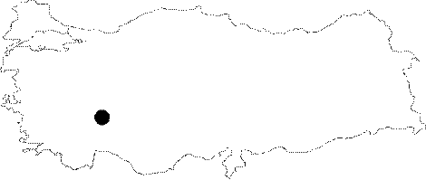 |
For photographs please click on the photo...  |
|
Type:
|
City |
|
Altitude:
|
m |
|
Region:
|
Mediterranean |
|
Province:
|
Isparta |
|
District:
|
Egirdir |
|
Village:
|
Sevinçbey |
|
Investigation Method:
|
Survey |
|
Period:
|
Roman Hellenistic |
|
|
|
 |
|
| Location: The ancient city of Prostanna lies on a narrow land combining the Davras Mountain with the hill to the northeast on the southwestern end of the Egirdir Lake; and it is mainly situated to the south and southwest of the hill. Ptolemy refers to the city as Prostama [Ptolemy 5; 5; 7]. It was placed between the ancient cities of Tymbriada and Konana in the list of Hierocles [Hierokles 674; 1]. |
| Geography and Environment: |
| History: Prostanna was built to serve as a garrison during the pre-Hellenistic period. It became an important garrison during the Hellenistic Period; and flourished in time under the protection of Rome. The earliest official inscripton including the name of the city is the one that was erected for the honor of a quaestor propraetor from the Province of Asia by the demo of Prostaenneis in Delos in 133 BC. The inscription proves the power of the diplomatic relations of a small city like Prostanna with Rome; and the presence of ambassador names other than ancient Greek indicate that the Greek influence was not strong enough at the time. The city may be identical to Eudoxiopolis as in the list of Hierocles during the Byzantine period [Jones 1971: 143]. Coins were minted between the reigns of Antoninus Pius (138-161 AD) and Claudius II during the Roman Imperial Period. "Viaros" was depicted as the mountain god on the coins. Epigraphic finds and potsherds prove the presence of the city during the Hellenistic and Roman Periods. |
| Research and Excavation: It was investigated by M.H. Ballance in 1957. M. Ozsait conducted a survey in 2001; followed by an epigraphical study carried out by T. Drew-Bear in the same year. It takes place in the registered archaeological sites list prepared by Ministry of Culture and Tourism. |
| Stratigraphy: |
| Small Finds: |
| Remains: The city; which was founded by the local people; had a strong fortification. The land is steep; but has a flat tophill. The circumference of the acropolis is ca. 200 m. The city wall has been heavily destructed. The walls are 2 m wide and were built with large and rough blocks of limestones. The interior surfaces of the wall were partially covered with mortar. Small blocks were identified in the northeast; and they are related with the restorations during the late period. The potential location of the two gates piercing the city wall was indicated in the Ballance's plan as A and B [Balance 1959: 126]. The Gate A was placed between the two towers while the Gate B was supported with a single tower. No remains were identified in relation to a theater although there is a convenient slope for construction of a theatre to the southwest of the acropolis. A hypocaust system belonging to a bath was identified on the lower part of the slope to the southeast of the acropolis. The bath should have been built during the reconstruction of the city. A temple with scattered architectural elements rises near the bath. Remains of a rectangular structure which may have belonged to a small temple were found at the tophill of the acropolis. |
| Interpretation and Dating: |