|
©The Archaeological Settlements of Turkey - TAY Project
|
|
|
|
|
|
Findos Höyük |
|
|
For site maps and drawings please click on the picture...  |
For photographs please click on the photo... 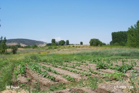 |
|
Type:
|
Mound |
|
Altitude:
|
900 m |
|
Region:
|
Mediterranean |
|
Province:
|
Isparta |
|
District:
|
Merkez |
|
Village:
|
Büyükgökçeli |
|
Investigation Method:
|
Survey |
|
Period:
|
Roman Hellenistic |
|
|
|
 |
|
| It is located 150 m southeast of the Isparta-Egridir motorway; southwest of the Büyükgökçeli (Büyükfindos) Town; northeast of the Isparta Province. The mound measures 125x200 m with a height of 3 m. Discovered by J. Mellaart; the settlement was dated to the EBA; and identified with the ancient city of Bindeos by W.M. Ramsay. It was suggested that it is the antecedent of the Byzantine city Eudoxiopolis (Theodosioupolis) [Ramsay 1960:451-452]. Referred as Bindeos; Bindeon or Bindaios in the inscriptions; it seems that the settlement was at least administratively related to Sagalassos during the Roman Period. M. Özsait proposes that Bindaios was founded at Kaleburnu during the Hellenistic Period; and then moved to the Küçük Gökçeli mound; which is located in the mid of a fertile plain; during the Pax Romana (see Kaleburnu). It was investigated under the direction of M. Waelkens in 1994-95 on behalf of the Leuven Catholic University; followed by a survey in 1997 by M. Özsait. The surveys yielded potsherds belonging to the settlement from the Roman Period on the surface. It takes place in the registered archaeological sites list prepared by Ministry of Culture and Tourism. |
| Location: |
| Geography and Environment: |
| History: |
| Research and Excavation: |
| Stratigraphy: |
| Small Finds: |
| Remains: |
| Interpretation and Dating: |