|
©The Archaeological Settlements of Turkey - TAY Project
|
|
|
|
|
|
Çakmaksulu - Incesu |
|
|
For site maps and drawings please click on the picture... 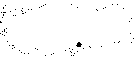 |
For photographs please click on the photo... 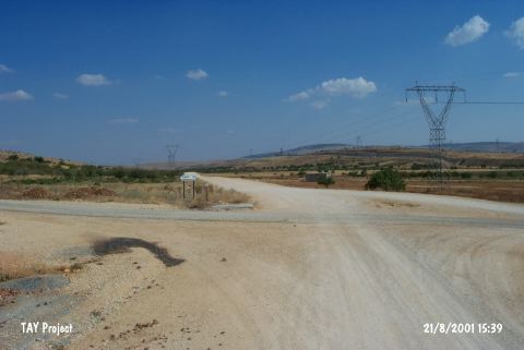 |
|
Type:
|
Single Findspot |
|
Altitude:
|
990 m |
|
Region:
|
Southeastern Anatolia |
|
Province:
|
Gaziantep |
|
District:
|
Sehitkamil |
|
Village:
|
Aktoprak |
|
Investigation Method:
|
Survey |
|
Period:
|
AP |
|
|
|
 |
|
| Location: This site is 17 km northwest of the city of Gaziantep and 2 km southeast of the village of Incesu. It is in the district of Çakmaksulu; immediately off of the road that runs between the villages of Incesu and Sam via Aktoprak (Gücüge). Goetze refers to this site as Incesu. |
| Geography and Environment: Very close to the site are flintstone nodule deposits (locally called "shay") and a limestone outcrop with several nearly vertical layers. |
| History: |
| Research and Excavation: In Kemal Erguvanli's 1945 survey along the Gaziantep-Narli railroad route; a biface handaxe was found by the side of the road in a plowed field in the town of Çakmaksulu. It takes place in the registered archaeological sites list prepared by Ministry of Culture and Tourism. |
| Stratigraphy: |
| Small Finds: The biface handaxe is 13.4x9.3x5.8 cm in size and has a patina. Flakes have been removed from both faces of this siliceous limestone tool. The edges; which were slightly denticulated; have been worn down by being transported by natural agents. Erguvanli believes this tool has Chelléen (Abbevillien)-Acheuléen characteristics and assigns it to the Lower Palaeolithic. Tomsky; however; dates it to the Upper Acheuléen [Tomsky 1982:309]. This tool is now being stored by the Geological Engineering Department of Istanbul Technical University. Similar to this biface handaxe is Atasayan's biface from Pendik in Istanbul and another biface found in Antakya. |
| Remains: |
| Interpretation and Dating: |