|
©The Archaeological Settlements of Turkey - TAY Project
|
|
|
|
|
|
Çallica |
|
|
For site maps and drawings please click on the picture... 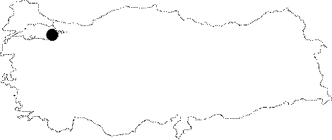 |
For photographs please click on the photo... 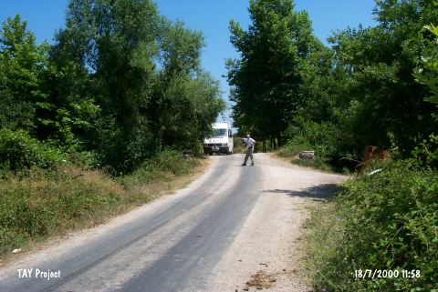 |
|
Type:
|
Single Findspot |
|
Altitude:
|
60 m |
|
Region:
|
Marmara |
|
Province:
|
Yalova |
|
District:
|
Çinarcik |
|
Village:
|
Çallica |
|
Investigation Method:
|
Survey |
|
Period:
|
|
|
|
|
 |
|
| Location: Artifacts were found in the Çallica riverbed where it flows through the village of Çallica; 6 km west of the city of Yalova and near the town of Çinarcik. |
| Geography and Environment: The Çallica Stream; which springs from the forested and mountainous southern part of the region; joins other streams and brooks such as Safran Çay; Sarisu and Lala Dere before it empties into the Marmara Sea. The terrain in this region undulates because of these streamlets. |
| History: |
| Research and Excavation: In his 1959 survey of the Marmara Region; Sevket Aziz Kansu found several tools in the Çallica River bed. These tools did not appear to be associated with any site and may have been transported to this location by the river. |
| Stratigraphy: |
| Small Finds: It was also called Çalica by local people. The tools found are all flint scrapers. The tools have not been assigned to any period (thus the tools may even be post-Palaeolithic). Ibonun Rampasi; another site discovered by Güven Arsebük of the University of Istanbul Faculty of Letters; is very close to this site and may actually belong to the same cultural horizon. |
| Remains: |
| Interpretation and Dating: |