|
©The Archaeological Settlements of Turkey - TAY Project
|
|
|
|
|
|
Çayirlik |
|
|
For site maps and drawings please click on the picture...  |
For photographs please click on the photo... 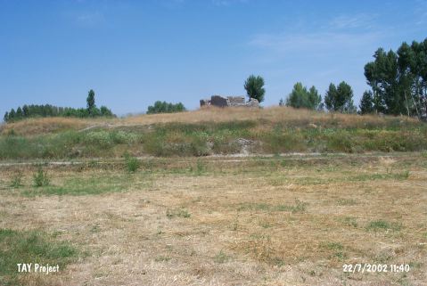 |
|
Type:
|
Mound |
|
Altitude:
|
1270 m |
|
Region:
|
Central Anatolia |
|
Province:
|
Yozgat |
|
District:
|
Bogazliyan |
|
Village:
|
Çakmak |
|
Investigation Method:
|
Survey |
|
Period:
|
|
|
|
|
 |
|
| The mound lies southeast of Yozgat; 1.5 km northeast of Çakmak village; which is 15 km west of Bogazliyan. The site was discovered during the Central Anatolian Survey conducted by S. Omura in 1990. Chalcolithic Age; EBA; MBA-LBA; IA; Byzantine and Islamic Period sherds were collected from the surface. |
| Location: |
| Geography and Environment: |
| History: |
| Research and Excavation: |
| Stratigraphy: |
| Small Finds: |
| Remains: |
| Interpretation and Dating: |