|
©The Archaeological Settlements of Turkey - TAY Project
|
|
|
|
|
|
Çetmi Höyük |
|
|
For site maps and drawings please click on the picture...  |
For photographs please click on the photo... 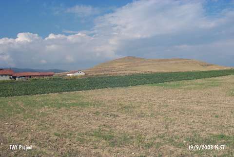 |
|
Type:
|
Mound |
|
Altitude:
|
655 m |
|
Region:
|
Black Sea |
|
Province:
|
Kastamonu |
|
District:
|
Tasköprü |
|
Village:
|
Esenlik |
|
Investigation Method:
|
Survey |
|
Period:
|
|
|
|
|
 |
|
| The mound; measuring approximately 20 m in height; is located 350 m northwest of Cetmi village of Tasköprü District of the city of Kastamonu. It is in the Keloglu quarter of the village of Esenlik to the south. To its west-northwest is the village of Karacaoglu. The mound is locally known as Türbetepe. The site was discovered during the Survey of Kastamonu conducted by A. Özdogan; C. Marro and A. Tibet in 1995. A little amount of Chalcolithic Age / Early Bronze Age 1 and Roman Period potsherds were collected from the surface. The location code of the site is B 33 / 1. |
| Location: |
| Geography and Environment: |
| History: |
| Research and Excavation: |
| Stratigraphy: |
| Small Finds: |
| Remains: |
| Interpretation and Dating: |