|
©The Archaeological Settlements of Turkey - TAY Project
|
|
|
|
|
|
Çoban Ali Höyük |
|
|
For site maps and drawings please click on the picture... 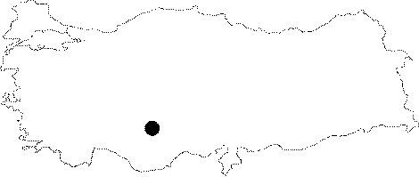 |
For photographs please click on the photo... 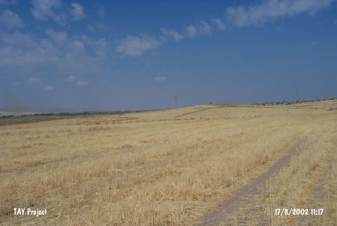 |
|
Type:
|
Mound |
|
Altitude:
|
1110 m |
|
Region:
|
Central Anatolia |
|
Province:
|
Karaman |
|
District:
|
Merkez |
|
Village:
|
Kisecik |
|
Investigation Method:
|
Survey |
|
Period:
|
Ceramic |
|
|
|
 |
|
| Location: This site lies southwest of both the city of Konya and the town of Karapinar. The exact location has not been reported. |
| Geography and Environment: The mound; located northeast of the volcanic Mount Karadag; is composed of two adjacent hillocks. The researchers therefore refer to the mound as Çoban Ali Höyük I and II. Watkins; in fact; believes that the mound is a single mound and that it was divided into two by water erosion. Both mounds are relatively low. |
| History: |
| Research and Excavation: The site was discovered in 1994 during the Çatalhöyük surface survey conducted under the direction of T. Watkins. The surveyors plotted a 1:25;000 map of the site and determined the north-south; east-west extents and the relative heights of different parts of the mound. A grid system was used in the collection of surface material. |
| Stratigraphy: Many Early Bronze Age ceramics were collected. Later periods are not represented in the ceramic assemblage; and thus this period is the latest stage of habitation at this site. Some Neolithic sherds were collected in addition. |
| Small Finds: Pottery: Although he does not describe them in his preliminary report; Watkins mentions that he assigned the some of the pottery from Çoban Ali Höyük to the Neolithic Period. |
| Remains: |
| Interpretation and Dating: The researcher believes the finds date to the sixth millennium BC and that the site is contemporaneous with the site of Çatalhöyük. There may also be similarities between this site and the sites of Mersin Yumuktepe and Sakçagözü Coba Höyük. |