|
©The Archaeological Settlements of Turkey - TAY Project
|
|
|
|
|
|
Çoban Tepe |
|
|
For site maps and drawings please click on the picture...  |
For photographs please click on the photo... 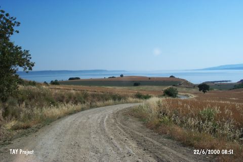 |
|
Type:
|
Mound |
|
Altitude:
|
70 m |
|
Region:
|
Marmara |
|
Province:
|
Çanakkale |
|
District:
|
Merkez |
|
Village:
|
Intepe |
|
Investigation Method:
|
Survey |
|
Period:
|
EBA II |
|
|
|
 |
|
| It stands on an outcrop extending to the sea; 6 km west of Intepe (Erenköy); southwest of Çanakkale Province. It is also known as Tektop Tepe. The hill is on a sheer cliff overlooking the Dardanelles and to its east is a dry river bed. It was discovered during the Troy excavations of the Cincinnati University in 1932. J. Cook reports that Çoban Tepe is same as Tavolia named by J. Calvert. The survey yielded EBA pottery (Troy I) as well as materials of the Troy VI and Classical Periods. |
| Location: |
| Geography and Environment: |
| History: |
| Research and Excavation: |
| Stratigraphy: |
| Small Finds: |
| Remains: |
| Interpretation and Dating: |