|
©The Archaeological Settlements of Turkey - TAY Project
|
|
|
|
|
|
Agilli |
|
|
For site maps and drawings please click on the picture...  |
For photographs please click on the photo... 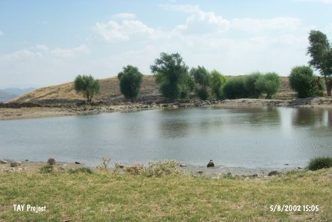 |
|
Type:
|
Mound |
|
Altitude:
|
1285 m |
|
Region:
|
Central Anatolia |
|
Province:
|
Nevsehir |
|
District:
|
Acigöl |
|
Village:
|
Agilli |
|
Investigation Method:
|
Survey |
|
Period:
|
|
|
|
|
 |
|
| It is located at the Çayirlik Mevkii, 2.8 west of the Agilli Village, south of the Acigöl District of Nevşehir. It is 25-30 m high above the plain, and it is an oval hill, measuring 170x110 m in dimensions. It was discovered in 1964 by I.A. Todd, and visited in 1997 by S.Y. Şenyurt. Illicitly dug pits can be observed on the surface. S.Y. Şenyurt, based on the sherds collected, reports the presence of settlements dating to the EBA, MBA-LBA, Iron Age and Hellenistic-Roman Periods. It is listed among the registered archeological sites by the Ministry of Culture and Tourism. |
| Location: |
| Geography and Environment: |
| History: |
| Research and Excavation: |
| Stratigraphy: |
| Small Finds: |
| Remains: |
| Interpretation and Dating: |