|
©The Archaeological Settlements of Turkey - TAY Project
|
|
|
|
|
|
Ayvali Pinar 2 |
|
|
For site maps and drawings please click on the picture...  |
For photographs please click on the photo... 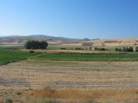 |
|
Type:
|
Mound |
|
Altitude:
|
565 m |
|
Region:
|
Black Sea |
|
Province:
|
Amasya |
|
District:
|
Göynücek |
|
Village:
|
Ayvalipinar |
|
Investigation Method:
|
Survey |
|
Period:
|
Early Iron Age |
|
|
|
 |
|
| It lies 100 m south of the Ayvali Pinar 1 settlement, 2 km northwest of the Ayvali Pinar Village, southwest of Amasya. It was discovered by a team under the direction of M. Özsait, who has been conducting surveys in the Middle Black Sea Region since 1986. Paint decorated sherds from the Early Bronze Age were collected. |
| Location: |
| Geography and Environment: |
| History: |
| Research and Excavation: |
| Stratigraphy: |
| Small Finds: |
| Remains: |
| Interpretation and Dating: |