|
©The Archaeological Settlements of Turkey - TAY Project
|
|
|
|
|
|
Bagyeri |
|
|
For site maps and drawings please click on the picture...  |
For photographs please click on the photo... 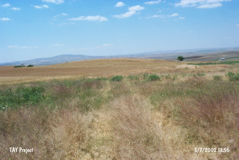 |
|
Type:
|
Mound |
|
Altitude:
|
1085 m |
|
Region:
|
Central Anatolia |
|
Province:
|
Ankara |
|
District:
|
Gölbasi |
|
Village:
|
Kinikli |
|
Investigation Method:
|
Survey |
|
Period:
|
|
|
|
|
 |
|
| It lies 300 m northwest of Kirikli Village of Gölbasi District; about 29 km north of Gölbasi District; south of Ankara Province. It was discovered during the Central Anatolian Survey conducted by S. Omura in 1992. To the southeast of the mound lies a cemetery. The mound measures 100 m long in north-south, and 120 m in east-west directions with a height of ca. 5 m. It has been cultivated. Capital and fragments of columns from the Classical Age are observed in the village. Sherds collected are dated to EBA, MBA, LBA and Iron Age. |
| Location: |
| Geography and Environment: |
| History: |
| Research and Excavation: |
| Stratigraphy: |
| Small Finds: |
| Remains: |
| Interpretation and Dating: |