|
©The Archaeological Settlements of Turkey - TAY Project
|
|
|
|
|
|
Bitik Höyük |
|
|
For site maps and drawings please click on the picture...  |
For photographs please click on the photo... 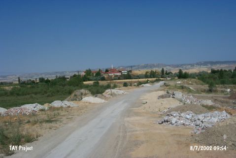 |
|
Type:
|
Mound |
|
Altitude:
|
900 m |
|
Region:
|
Central Anatolia |
|
Province:
|
Ankara |
|
District:
|
Kazan |
|
Village:
|
Bitik |
|
Investigation Method:
|
Excavation |
|
Period:
|
|
|
|
|
 |
|
| It is located at where the Bitik Village is situated in the Kazan District, approximately 42 km northwest of Ankara. Lying on a plain, it measures 18 m in height, and 240-250 m in diameter. Partly destroyed by the modern village, a small excavation was conducted in 1942 by R.O. Arik on the mound, which yielded layers dating to the Classical Period, Phrygian and Hittite Periods and Copper Age/Early Bronze Age II. At a depth of 15.5 m below the ground, sherds with black slipped interior and light bright surface colored exterior similar to the Karaoglan finds were found. Finds dating to the Early Bronze Age are not detailed. Groove decorated strap handles are observed [Arik 1944:pl. LXII]. The virgin soil was not reached due to the plain water. It was re-surveyed by S. Omura in 1994 during which heavy destructions resulting from illicit diggings were observed on the mound. |
| Location: |
| Geography and Environment: |
| History: |
| Research and Excavation: |
| Stratigraphy: |
| Small Finds: |
| Remains: |
| Interpretation and Dating: |