|
©The Archaeological Settlements of Turkey - TAY Project
|
|
|
|
|
|
Bolus / Aktepe |
|
|
For site maps and drawings please click on the picture...  |
For photographs please click on the photo... 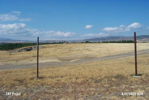 |
|
Type:
|
Mound |
|
Altitude:
|
1120 m |
|
Region:
|
Black Sea |
|
Province:
|
Tokat |
|
District:
|
Merkez |
|
Village:
|
Aktepe |
|
Investigation Method:
|
Survey |
|
Period:
|
|
|
|
|
 |
|
| It is located in the Aktepe Village, approximately 2 to 3 km east of the Merkez District in Tokat. Sherds collected by C. Smith were analysed in 1903 by Myres. It was lastly surveyed in 1955 by C.A. Burney. Sherds dating to the 2nd Millennium BC and Iron Age were collected from the surface. |
| Location: |
| Geography and Environment: |
| History: |
| Research and Excavation: |
| Stratigraphy: |
| Small Finds: |
| Remains: |
| Interpretation and Dating: |