|
©The Archaeological Settlements of Turkey - TAY Project
|
|
|
|
|
|
Çayirlik |
|
|
For site maps and drawings please click on the picture...  |
For photographs please click on the photo... 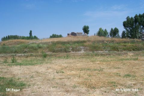 |
|
Type:
|
Mound |
|
Altitude:
|
1270 m |
|
Region:
|
Central Anatolia |
|
Province:
|
Yozgat |
|
District:
|
Bogazliyan |
|
Village:
|
Çakmak |
|
Investigation Method:
|
Survey |
|
Period:
|
|
|
|
|
 |
|
| It lies 1.5 km northeast of the Çakmak Village in the Bogazliyan District of Yozgat. It was discovered in 1990 during the surveys conducted in Central Anatolia under the direction of S. Omura. Sherds from the Chalcolithic, EBA, MBA, Iron Age, and Byzantine and Islamic Periods were collected from the surface. |
| Location: |
| Geography and Environment: |
| History: |
| Research and Excavation: |
| Stratigraphy: |
| Small Finds: |
| Remains: |
| Interpretation and Dating: |