|
©The Archaeological Settlements of Turkey - TAY Project
|
|
|
|
|
|
Çes Tepesi |
|
|
For site maps and drawings please click on the picture...  |
For photographs please click on the photo... 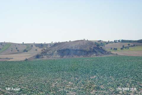 |
|
Type:
|
Slope Settlement |
|
Altitude:
|
860 m |
|
Region:
|
Black Sea |
|
Province:
|
Samsun |
|
District:
|
Havza |
|
Village:
|
Kuskonagi |
|
Investigation Method:
|
Survey |
|
Period:
|
|
|
|
|
 |
|
| It lies 1.9 km southwest of the Kuskonagi Village, north of the Havza District in Samsun. There is an irrigation reservoir on the skirts of the mound on which the settlement is located, and from southwest to southeast flows the Kaya Stream while to the south runs a village road. Sherds from the 3rd, 2nd and 1st Millennia BC and Phrygian Period were identified. |
| Location: |
| Geography and Environment: |
| History: |
| Research and Excavation: |
| Stratigraphy: |
| Small Finds: |
| Remains: |
| Interpretation and Dating: |