|
©The Archaeological Settlements of Turkey - TAY Project
|
|
|
|
|
|
Akharim |
|
|
For site maps and drawings please click on the picture...  |
For photographs please click on the photo... 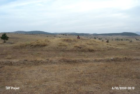 |
|
Type:
|
Mound |
|
Altitude:
|
m |
|
Region:
|
Aegean |
|
Province:
|
Afyonkarahisar |
|
District:
|
Sandikli |
|
Village:
|
Akharim |
|
Investigation Method:
|
Survey |
|
Period:
|
EBA II |
|
|
|
 |
|
| It lies in the Akharim (Akkonak) Village; north-northeast of Keramik on the Keramik Lake plain; southeast of the Afyonkarahisar Province. It was discovered during the survey of J. Mellaart's survey and is included in the list and map of the EBA II settlements. This site is re-studied in 2009 during a survey carried out by Koçak. The location is described by Koçak as 2 km East of Akharım Suburb, on the 25th km of Sandıklı-Afyon highway, on 3.5 km West of the highway, and on 4 km West of Nuh Mound. There is a close water source on the Southeast of the mound that is 21 m high and built on a natural slope of the hilly area in the South. The mound is in a dominant position over the passage from Küçük Plain to Sandıklı Plain since its location is overlooking the fertile flatland on the North, East and West as well as the Afyon Ğ Sandıklı Highway. EBA findings are encountered in the mound [Koçak 2011:183]. |
| Location: |
| Geography and Environment: |
| History: |
| Research and Excavation: |
| Stratigraphy: |
| Small Finds: |
| Remains: |
| Interpretation and Dating: |