|
©The Archaeological Settlements of Turkey - TAY Project
|
|
|
|
|
|
Gökçeyazi Üyücek |
|
|
For site maps and drawings please click on the picture...  |
For photographs please click on the photo... 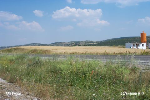 |
|
Type:
|
Mound |
|
Altitude:
|
215 m |
|
Region:
|
Marmara |
|
Province:
|
Balikesir |
|
District:
|
Merkez |
|
Village:
|
Gökçeyazi |
|
Investigation Method:
|
Survey |
|
Period:
|
|
|
|
|
 |
|
| It lies 800 m east of the Gökçeyazi (Ergama) Village of the Merkez District, east of Balikesir. It was discovered in 1987 during the Survey in the Province of Balikesir conducted by M. Özdoğan (Kod. K7/1). Sherds dating to the Early Bronze Age, Late Bronze Age and the Ancient Period were collected from the surface. |
| Location: |
| Geography and Environment: |
| History: |
| Research and Excavation: |
| Stratigraphy: |
| Small Finds: |
| Remains: |
| Interpretation and Dating: |