|
©The Archaeological Settlements of Turkey - TAY Project
|
|
|
|
|
|
Horoztepe |
|
|
For site maps and drawings please click on the picture...  |
For photographs please click on the photo... 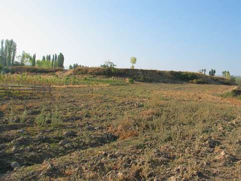 |
|
Type:
|
Mound |
|
Altitude:
|
325 m |
|
Region:
|
Black Sea |
|
Province:
|
Tokat |
|
District:
|
Erbaa |
|
Village:
|
Merkez |
|
Investigation Method:
|
Survey |
|
Period:
|
|
|
|
|
 |
|
| It lies next to the Inbat Stream, south of the Erbaa District, sout of the provincial center of Tokat. It rests on a cape extending onto the stream, 400 m northwest of the Dere Mahallesi Cemetery . It measures 150x100x5 m in dimensions. Sherds dating to the Iron Age were collected from the surface. It takes place in the registered archaeological sites list prepared by Ministry of Culture and Tourism. |
| Location: |
| Geography and Environment: |
| History: |
| Research and Excavation: |
| Stratigraphy: |
| Small Finds: |
| Remains: |
| Interpretation and Dating: |