|
©The Archaeological Settlements of Turkey - TAY Project
|
|
|
|
|
|
Ilisira |
|
|
For site maps and drawings please click on the picture...  |
For photographs please click on the photo... 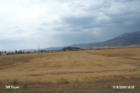 |
|
Type:
|
Mound |
|
Altitude:
|
1165 m |
|
Region:
|
Central Anatolia |
|
Province:
|
Karaman |
|
District:
|
Merkez |
|
Village:
|
Yollarbasi |
|
Investigation Method:
|
Survey |
|
Period:
|
|
|
|
|
 |
|
| It is situated at the center of the Yollarbasi Town. It measures 200x200x30 m in dimensions. The settlement was discovered by J. Mellaart, and dated to EBA. It was reinvestigated by H. Bahar during the 2003 and 2005 surveys. It experienced severe destruction due to landscaping, afforestation and irrigation activities in recent years. Various architectural elements from the Roman and Byzantine Periods are observed on the settlement. A large size pool and a building were built during the landscaping works. The sherds of EBA, Iron Age, Hellenistic, Roman and Byzantine Periods were found. It was researched within the scope of "Konya-Karaman Provinces and Districts Survey" by H. Bahar et al. in 2005 and defined as "Yollarbasi Höyük-Ilisera" . It takes place in the registered archaeological sites list prepared by Ministry of Culture and Tourism. |
| Location: |
| Geography and Environment: |
| History: |
| Research and Excavation: |
| Stratigraphy: |
| Small Finds: |
| Remains: |
| Interpretation and Dating: |