|
©The Archaeological Settlements of Turkey - TAY Project
|
|
|
|
|
|
Kuzeren |
|
|
For site maps and drawings please click on the picture...  |
For photographs please click on the photo... 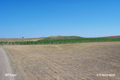 |
|
Type:
|
Mound |
|
Altitude:
|
1230 m |
|
Region:
|
Central Anatolia |
|
Province:
|
Kirikkale |
|
District:
|
Merkez |
|
Village:
|
Kizildere |
|
Investigation Method:
|
Survey |
|
Period:
|
|
|
|
|
 |
|
| It is situated 700 m northwest of the road leading to the Kizildere Village, 1.5 km southwest of the village, 9 km northeast of the provincial center of Kirikkale. It has a height of 8.5 m, and a diameter of 175 m. It has been partially destroyed by illicit diggings and ploughing. It was discovered by a Japanese team under the direction of S. Omura in 1991, and according to the researchers, sherds dating to the Chalcolithic Age and Early Bronze Age were collected from the surface. Undatable slag fragments were found along with the Iron Age sherds. |
| Location: |
| Geography and Environment: |
| History: |
| Research and Excavation: |
| Stratigraphy: |
| Small Finds: |
| Remains: |
| Interpretation and Dating: |