|
©The Archaeological Settlements of Turkey - TAY Project
|
|
|
|
|
|
Tepeler / Konk |
|
|
For site maps and drawings please click on the picture...  |
For photographs please click on the photo... 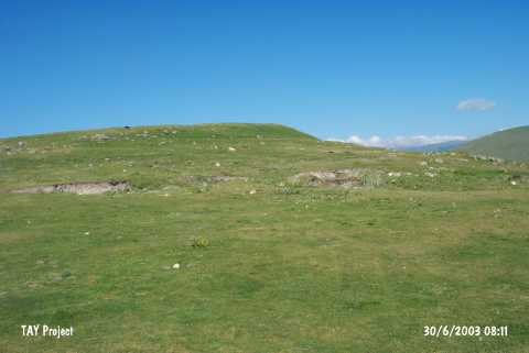 |
|
Type:
|
Mound |
|
Altitude:
|
1890 m |
|
Region:
|
Eastern Anatolia |
|
Province:
|
Ardahan |
|
District:
|
Merkez |
|
Village:
|
Tepeler |
|
Investigation Method:
|
Survey |
|
Period:
|
|
|
|
|
 |
|
| It is situated at the intersection of the Ardahan-Göle and Ardahan-Ardanuç motorways in the Tepeler Village, 12 km southwest of the provincial center of Ardahan. It has a steep western slope while the eastern section is flat and northern section has shape of a terrace. The illicit diggings and soil removal from the mound by the villagers resulted in exposure of 1.3-2 m high and 3 m wide walls made of basalt stones in cyclopean technique. The wall encloses the hill entirely. Again in the light of the data obtained from the sherds exposed during the illicit diggings, it seems that the site had been inhabited since the Early Bronze Age, and it had been intensely used during the Iron Age. It was visited during the survey conducted by S. Pataci in 2013. The remains of wall / rampart built with basalt that were mentioned in Köroglu's report in 1998 could not be found during the survey. However, it is possible that dense vegetation might have covered these remains. It was observed that the structure dated to Middle Age is still intact. A great number of potsherds dating to Bronze Age, IA and Middle Age were found [Pataci 2015:106]. |
| Location: |
| Geography and Environment: |
| History: |
| Research and Excavation: |
| Stratigraphy: |
| Small Finds: |
| Remains: |
| Interpretation and Dating: |