|
©The Archaeological Settlements of Turkey - TAY Project
|
|
|
|
|
|
Ziyaret Kale |
|
|
For site maps and drawings please click on the picture...  |
For photographs please click on the photo... 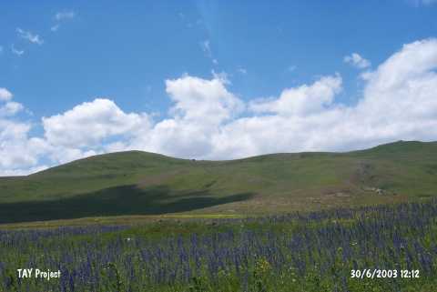 |
|
Type:
|
Upland Settlement |
|
Altitude:
|
1810 m |
|
Region:
|
Eastern Anatolia |
|
Province:
|
Ardahan |
|
District:
|
Hanak |
|
Village:
|
Çayagzi |
|
Investigation Method:
|
Survey |
|
Period:
|
|
|
|
|
 |
|
| It is situated 1.5 km west of the Çayagzi Village of the Hanak District in Ardahan. It was built on an easily defendable hill, arising on top of a mountain chain in north-south direction, with a steep western slope, overlooking the Hanak Region. The walls of a tower-like structure built in dry wall technique used for observation purposes survived at a height of 2 m at some places. The building bear characteristics of the Iron Age based on its ceramics finds and architectural features. |
| Location: |
| Geography and Environment: |
| History: |
| Research and Excavation: |
| Stratigraphy: |
| Small Finds: |
| Remains: |
| Interpretation and Dating: |