|
©The Archaeological Settlements of Turkey - TAY Project
|
|
|
|
|
|
Besiktepe |
|
|
For site maps and drawings please click on the picture...  |
For photographs please click on the photo... 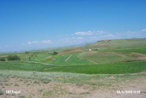 |
|
Type:
|
Mound |
|
Altitude:
|
1670 m |
|
Region:
|
Eastern Anatolia |
|
Province:
|
Erzurum |
|
District:
|
Pasinler |
|
Village:
|
Tepecik |
|
Investigation Method:
|
Survey |
|
Period:
|
Middle Iron Age |
|
|
|
 |
|
| It lies 900 m east of the Tepecik Village of the Pasinler District, 9 km east of Hasankale, east of Erzurum. The mound is located in front of the Mount Alibaba, an extension of mountain range of Sahvelet delimiting the southeast of the Pasinler Plain. It measures 50x20 m in dimensions. Ceramics from the Early Bronze Age (Karaz type), Iron Age and Middle Age were collected from the surface. |
| Location: |
| Geography and Environment: |
| History: |
| Research and Excavation: |
| Stratigraphy: |
| Small Finds: |
| Remains: |
| Interpretation and Dating: |