|
©The Archaeological Settlements of Turkey - TAY Project
|
|
|
|
|
|
Altilar |
|
|
For site maps and drawings please click on the picture...  |
For photographs please click on the photo... 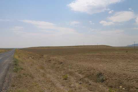 |
|
Type:
|
Mound |
|
Altitude:
|
1090 m |
|
Region:
|
Central Anatolia |
|
Province:
|
Konya |
|
District:
|
Kulu |
|
Village:
|
Altilar |
|
Investigation Method:
|
Survey |
|
Period:
|
|
|
|
|
 |
|
| It lies 14 km northwest of Kulu within the borders of the Altilar Village in the Kulu District of Konya. Rising on a natural elevation, it consists of two or three mounds. It measures ca. 465 m in the north-south direction, and 191 m in the east-west direction with a height of 10 m. Some architectural remains are observed on the northern section of the hill. It was discovered during the Central Anatolian Survey conducted under the direction of S. Omura in 1992. The sherds collected from the surface are from the EBA, MBA and Iron Age. There are numerous sherds dating to the EBA. It takes place in the registered archaeological sites list prepared by Ministry of Culture and Tourism. |
| Location: |
| Geography and Environment: |
| History: |
| Research and Excavation: |
| Stratigraphy: |
| Small Finds: |
| Remains: |
| Interpretation and Dating: |