|
©The Archaeological Settlements of Turkey - TAY Project
|
|
|
|
|
|
Eskiköy Yeri |
|
|
For site maps and drawings please click on the picture... 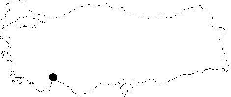 |
For photographs please click on the photo... 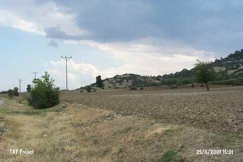 |
|
Type:
|
Upland Settlement |
|
Altitude:
|
950 m |
|
Region:
|
Mediterranean |
|
Province:
|
Antalya |
|
District:
|
Korkuteli |
|
Village:
|
Çomakli |
|
Investigation Method:
|
Survey |
|
Period:
|
Ceramic |
|
|
|
 |
|
| Location: This site lies 3.6 km east of Çomakli Village; north of Korkuteli District; northwest of Antalya. |
| Geography and Environment: This mound; which lies on a natural hillock; is 35 m high and has a 60x100 m base. The settlers must have preferred this elevated terrain. The name of the site; Eskiköy Yeri; which literally means "the site near the old village"; has been given because the old village of Çomakli used to be south of this area. In addition to erosion; the site has been destroyed by treasure hunters' trenches. West of the site; along the highway between the villages of Çomakli and Bozlar; is the Eskiköy Pinari natural spring. |
| History: |
| Research and Excavation: The site was discovered by M. Özsait of the University of Istanbul Faculty of Literature; Department of Ancient History during his survey of the Antalya-Kortukeli Region in 1994. |
| Stratigraphy: The ceramics collected from the surface have been assigned to the Late Neolithic-Early Chalcolithic; the Late Chalcolithic and to the Roman Period. |
| Small Finds: Pottery: Some Late Neolithic-Early Chalcolithic painted and monochrome ware was found. Chipped Stone: Obsidian and flint blades were found. |
| Remains: |
| Interpretation and Dating: It can be concluded that this site; which lies on a natural rock outcrop; housed a Late Neolithic-Early Chalcolithic settlement. |