| ©The Archaeological Settlements of Turkey - TAY Project | ||||||
|
|
||||||
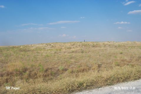
Göztepe |
||||||
|
|
||||||
| Ages | Maps | Photos | ||||
| Chalcolithic |
 |
 |
||||
|
|
||||||
|
Type:
|
Mound | |||||
|
Altitude:
|
1085 m | |||||
|
Diameter:
|
155 m- Direction: NNW-SSE | |||||
|
|
||||||
|
Region:
|
Central Anatolia | |||||
|
Province:
|
Karaman | |||||
|
District:
|
Merkez | |||||
|
Village:
|
Göztepe | |||||
|
|
||||||
|
Destruction :
|
Illicit Digging | |||||
|
|
||||||
|
TAYEx:
|
Visited - 18/8/2002 | |||||
|
|
||||||
|
Registration State:
|
For detailed registration information please refer to Turkish pages. | |||||
 |
||||||
| Location: |
| Geography and Environment: |
| Destruction Details: It has been damaged due to illicit diggings. There are lots of pits on the mound and places around which dug by bulldozer [TAYEx 18.8.2002]. |