| ©The Archaeological Settlements of Turkey - TAY Project | ||||||
|
|
||||||
Gritille |
||||||
|
|
||||||
| Ages | Maps | Photos | ||||
| Neolithic Chalcolithic EBA IA 14C |
 |
 |
||||
|
|
||||||
|
Type:
|
Mound | |||||
|
Altitude:
|
426 m | |||||
|
Diameter:
|
m- Direction: | |||||
|
|
||||||
|
Region:
|
Southeastern Anatolia | |||||
|
Province:
|
Adiyaman | |||||
|
District:
|
Samsat | |||||
|
Village:
|
Halilan | |||||
|
|
||||||
|
Destruction :
|
Dams | |||||
|
|
||||||
|
TAYEx:
|
Not visited - 29/8/2001 | |||||
|
|
||||||
|
Registration State:
|
For detailed registration information please refer to Turkish pages. | |||||
 |
||||||
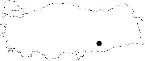
| Location: Before it was flooded by the Atatürk Dam Lake; the site was located southeast of the city of Adiyaman; 7 km northeast of the old town of Samsat and 3 km northeast of the old neighborhood of Kovanoluk (Biriman). The survey code of the site is T 51 / 9. |
| Geography and Environment: The site of Gritille was located on the western shore of the old Euphrates River; which flowed from northeast to southwest; before the Atatürk Dam was built. The conical; oval mound; now beneath the dam lake; had a 13 m thick cultural material deposit and was 80x40 m at the top and 150x100 m at the base. The mound; also known as Tille; lies on conglomerate and gravely soil along the Euphrates River. The upper part of the mound lay 24 m above the water-level of the Euphrates River before the construction of the Atatürk Dam Lake [Ellis 1983a:83]. The exact size of the mound cannot be determined because the eastern part of the mound was eroded by the Euphrates. The mound; therefore; became oval in shape and lay along the river; parallel to it. Systematic survey conducted on and around the mound revealed that the most extensive occupation of the site was in the thirteenth century AD. The fact that the mound overlooks a flat plain along the Euphrates and the fact that there are two springs on the eastern side of the mound were probably major factors in its selection as a habitation area. The islands formed on the base of the Euphrates River Valley are attractive places for grazing in the summers when the surrounding pastures are dry. The trees that grow along the Euphrates River may have also supplied the inhabitants of Gritille with adequate wood. Good quality flint for producing chipped stone tools may be obtained from the ridges a couple of kilometers west of the mound. The Gritille Region is thus highly equipped with many necessities. |
| Destruction Details: The site is flooded by dam reservoir today [TAYEx 29.8.2001]. |