| ©The Archaeological Settlements of Turkey - TAY Project | ||||||
|
|
||||||
Hacihamza |
||||||
|
|
||||||
| Ages | Maps | Photos | ||||
| Neolithic EBA |
 |
 |
||||
|
|
||||||
|
Type:
|
Mound | |||||
|
Altitude:
|
1005 m | |||||
|
Diameter:
|
100 m- Direction: NE-SW | |||||
|
|
||||||
|
Region:
|
Aegean | |||||
|
Province:
|
Kütahya | |||||
|
District:
|
Altintas | |||||
|
Village:
|
Alibey | |||||
|
|
||||||
|
Destruction :
|
Illicit Digging - Agriculture | |||||
|
|
||||||
|
TAYEx:
|
Visited - 7/7/2004 | |||||
|
|
||||||
|
Registration State:
|
Registered For detailed registration information please refer to Turkish pages. | |||||
 |
||||||
| Location: This site lies southeast of the city of Kütahya; 4 km north of the town of Altintas and 1.4 km west of the village of Alibey Köy. |
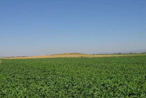
| Geography and Environment: It is reported that the mound is approximately 4.5 m high and that the base has an 83 m diameter [Efe 1994:576]. The site is west of the Aksaz Swamp and north of the village of Çetme. |
| Destruction Details: An illicit digging pit measuring 3.50 m in diameter and 3.40 m depth was seen on the top of the mound. Another pit was observed on the southern skirt and is measures 3.50 m in diameter and 50 cm in depth. The slopes of the mound were cut to make way for fields [TAYEx 7.7.2004]. |