| ©The Archaeological Settlements of Turkey - TAY Project | ||||||
|
|
||||||
Hamiskan Deresi |
||||||
|
|
||||||
| Ages | Maps | Photos | ||||
| Palaeolithic/Epipalaeolithic |
 |
 |
||||
|
|
||||||
|
Type:
|
Habitation Site / Workshop | |||||
|
Altitude:
|
m | |||||
|
Diameter:
|
m- Direction: | |||||
|
|
||||||
|
Region:
|
Southeastern Anatolia | |||||
|
Province:
|
Adiyaman | |||||
|
District:
|
Samsat | |||||
|
Village:
|
Haci Halilan | |||||
|
|
||||||
|
Destruction :
|
Dams | |||||
|
|
||||||
|
TAYEx:
|
Not visited - 29/8/2001 | |||||
|
|
||||||
|
Registration State:
|
For detailed registration information please refer to Turkish pages. | |||||
 |
||||||
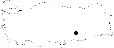
| Location: This site is in the Adiyaman Province; southeast of the city; north of the town of Samsat and approximately 1.250-1.300 meters; as the crow flies; northwest of the neighborhood of Haci Halilan. The site; called "Hamiskan Deresi" because of its close proximity to the Hamiskan Stream; consists of two main habitation areas (?). One is on the east flank of this stream and is called "Alt (lower) Hamiskan" while the other known as "Üst (upper) Hamiskan"; is about 150 m from the stream. Its code is T 51 / 21;24. |
| Geography and Environment: The Hamiskan Valley widens as it reaches the Euphrates. The valley walls have been carved by small streamlets. The terrace at the base of the valley is only partially preserved. Many of the Palaeolithic artifacts were found on a field beyond the eastern slopes of the Hamiskan Valley. These have been called Upper Hamiskan because there is no local name for this region [Özdogan 1977:113-114]. This site is now submerged under the Atatürk Dam Lake. |
| Destruction Details: The site is flooded by dam reservoir today [TAYEx 29.8.2001]. |