| ©The Archaeological Settlements of Turkey - TAY Project | ||||||
|
|
||||||
Alisar Höyük |
||||||
|
|
||||||
| Ages | Maps | Photos | ||||
| Chalcolithic EBA IA 14C |
 |
 |
||||
|
|
||||||
|
Type:
|
Mound | |||||
|
Altitude:
|
1010 m | |||||
|
Diameter:
|
m- Direction: | |||||
|
|
||||||
|
Region:
|
Central Anatolia | |||||
|
Province:
|
Yozgat | |||||
|
District:
|
Sorgun | |||||
|
Village:
|
Alisar | |||||
|
|
||||||
|
|
||||||
|
|
||||||
|
TAYEx:
|
Not visited - 21/7/2002 | |||||
|
|
||||||
|
Registration State:
|
Registered For detailed registration information please refer to Turkish pages. | |||||
 |
||||||
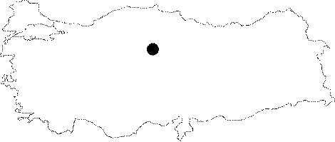
| Location: It lies about 2;5 km north of the Alisar Village; south of the Sorgun District; southeast of the Yozgat Province. |
| Geography and Environment: The mound is located on a big plain irrigated by the Konak Suyu. It is believed that the Konak Suyu used to flow near the mound. Alisar is the biggest settlement in Central Anatolia. The main settlement of Alisar is reported to measure ca. 520x350 m in dimensions in accordance with the distribution of sherds. A conic height rises in the middle of the terrace up to 30 m high measuring 245x145 m in dimensions. The mound was named after the nearest village; Alisar. |
| Destruction Details: |