| ©The Archaeological Settlements of Turkey - TAY Project | ||||||
|
|
||||||
Karababa - Subasi |
||||||
|
|
||||||
| Ages | Maps | Photos | ||||
| Palaeolithic/Epipalaeolithic |
 |
 |
||||
|
|
||||||
|
Type:
|
Habitation Site / Workshop | |||||
|
Altitude:
|
m | |||||
|
Diameter:
|
m- Direction: | |||||
|
|
||||||
|
Region:
|
Marmara | |||||
|
Province:
|
Istanbul | |||||
|
District:
|
Çatalca | |||||
|
Village:
|
Subasi | |||||
|
|
||||||
|
|
||||||
|
|
||||||
|
TAYEx:
|
- | |||||
|
|
||||||
|
Registration State:
|
For detailed registration information please refer to Turkish pages. | |||||
 |
||||||
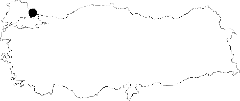
| Location: This site; which is in the province of Istanbul includes several artifact scatters. Since the number of artifacts found at each of these artifact scatters is so minimal; we have decided to present these nearby sites as a whole. Chipped stone tools were found at KARABABA MEVKII; 7 km north of the town of Çatalca and southwest of the village of Subasi; and in the village of Subasi itself; at the SUBASI Artifact Scatter. Similarly; tools were found northeast of Çatalca; near (?) the village of YASSIÖREN; as well as near the village of Balaban which is south of the Terkos (Durusu) Lake; at the BALABAN Artifact Scatter. The survey code of this site is D 10 / 33-34. |
| Geography and Environment: Because we are not informed about the specific locations of these artifact scatters; it is difficult to give comparative distances between them. |
| Destruction Details: |