| ©The Archaeological Settlements of Turkey - TAY Project | ||||||
|
|
||||||
Korucutepe |
||||||
|
|
||||||
| Ages | Maps | Photos | ||||
| Chalcolithic EBA IA 14C |
 |
 |
||||
|
|
||||||
|
Type:
|
Mound | |||||
|
Altitude:
|
900 m | |||||
|
Diameter:
|
m- Direction: | |||||
|
|
||||||
|
Region:
|
Eastern Anatolia | |||||
|
Province:
|
Elazig | |||||
|
District:
|
Merkez | |||||
|
Village:
|
Asagi Içme | |||||
|
|
||||||
|
Destruction :
|
Dams | |||||
|
|
||||||
|
TAYEx:
|
Not visited - 15/8/2003 | |||||
|
|
||||||
|
Registration State:
|
For detailed registration information please refer to Turkish pages. | |||||
 |
||||||
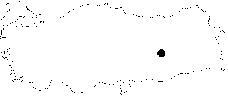
| Location: It was located next to the Asagi Içme Village; 30 km east of the Elazig Province [van Loon 1987a:pl.1]. It is coded under 0 55/1. |
| Geography and Environment: It was one of the biggest mounds of the Altinova Plain. It measured 16 m in height and 190 m in diameter before flooded by the Keban Dam. It is referred to as Asagi Içme in some publications [Meriggi 1967:280]. |
| Destruction Details: The mound is flooded by dam reservoir [TAYEx 15.8.2003]. |