| ©The Archaeological Settlements of Turkey - TAY Project | ||||||
|
|
||||||
Arapkir Çayi |
||||||
|
|
||||||
| Ages | Maps | Photos | ||||
| Palaeolithic/Epipalaeolithic |
 |
 |
||||
|
|
||||||
|
Type:
|
Rock Shelter | |||||
|
Altitude:
|
m | |||||
|
Diameter:
|
m- Direction: | |||||
|
|
||||||
|
Region:
|
Eastern Anatolia | |||||
|
Province:
|
Elazig | |||||
|
District:
|
Agin | |||||
|
Village:
|
||||||
|
|
||||||
|
Destruction :
|
Dams | |||||
|
|
||||||
|
TAYEx:
|
Not visited - 15/8/2003 | |||||
|
|
||||||
|
Registration State:
|
For detailed registration information please refer to Turkish pages. | |||||
 |
||||||
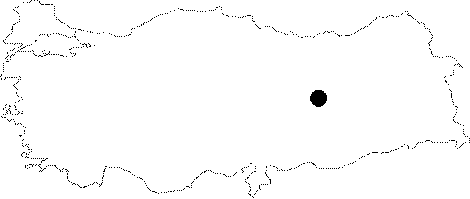
| Location: The rock-shelter site is located northwest of the city of Elazig and southwest of the town of Agin. It is 3.5 km south of the village of Hastek; 2.5 km northwest of the village of Bahattin and 250 m west of Mount Sihkiner. This rock-shelter faces the Arapkir Stream and is immediately north of the so far archaeologically unproductive Karamagara Caves. This information has been provided from a 1:100;000 map. |
| Geography and Environment: This site includes two adjacent rock-shelters that face the Arapkir Stream. They are referred to by number; 1 and 2. The deeper and narrower shelter extending 4.46 m into the rock-face is Shelter "1". This shelter is 5.50 m wide and 2.15 m high; while the larger shelter; Shelter "2" is 25.50 m wide; 2.30 m high and 2.50 m deep. Further information on this site cannot be provided because it has since been flooded by the Keban Dam Lake. |
| Destruction Details: The mound is flooded by dam reservoir [TAYEx 15.8.2003]. |