| ©The Archaeological Settlements of Turkey - TAY Project | ||||||
|
|
||||||
Kurupinar |
||||||
|
|
||||||
| Ages | Maps | Photos | ||||
| Chalcolithic |
 |
 |
||||
|
|
||||||
|
Type:
|
Mound | |||||
|
Altitude:
|
850 m | |||||
|
Diameter:
|
m- Direction: | |||||
|
|
||||||
|
Region:
|
Eastern Anatolia | |||||
|
Province:
|
Elazig | |||||
|
District:
|
Keban | |||||
|
Village:
|
Fatmali | |||||
|
|
||||||
|
Destruction :
|
Dams | |||||
|
|
||||||
|
TAYEx:
|
Not visited - 14/7/2003 | |||||
|
|
||||||
|
Registration State:
|
For detailed registration information please refer to Turkish pages. | |||||
 |
||||||
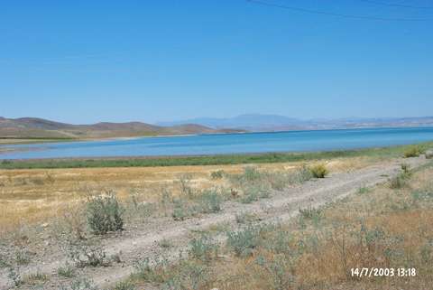
| Location: The site lies approximately 30 km northwest of the centrum of Elazig; 5.7 km south of Asvan; and 2.5 km northeast of the village of Engüzek. It is partially inundated today by Keban Dam. It was possible to get to the mound from Elazig-Çemisgezek road previous to the inundation. |
| Geography and Environment: The mound used to lie on the west bank of the valley of the small stream that first joined with Kuruçay Stream and then with Euphrates. It is 3 m high and 125 m in diameter. There is a poor fresh water spring at the northern skirt of the mound. |
| Destruction Details: The mound is partly flooded by dam reservoir [TAYEx 14.7.2003]. |