| ©The Archaeological Settlements of Turkey - TAY Project | ||||||
|
|
||||||
Aslanapa |
||||||
|
|
||||||
| Ages | Maps | Photos | ||||
| Chalcolithic EBA |
 |
 |
||||
|
|
||||||
|
Type:
|
Mound | |||||
|
Altitude:
|
1000 m | |||||
|
Diameter:
|
70 m- Direction: NE-SW | |||||
|
|
||||||
|
Region:
|
Aegean | |||||
|
Province:
|
Kütahya | |||||
|
District:
|
Aslanapa | |||||
|
Village:
|
Merkez | |||||
|
|
||||||
|
Destruction :
|
Agriculture | |||||
|
|
||||||
|
TAYEx:
|
Visited - 5/7/2004 | |||||
|
|
||||||
|
Registration State:
|
Registered For detailed registration information please refer to Turkish pages. | |||||
 |
||||||
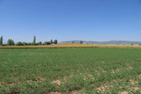
| Location: The mound lies 25 km southwest of the city of Kütahya; 700 m south of Aslanapa Town; left of the southern entrance of the town. |
| Geography and Environment: A large pit dug years ago is striking on the broad and flat mound; measuring 5 m in height and 140 m in diameter. There is no water source nearby. |
| Destruction Details: The surface and the surroundings of the mound are being used for agricultural purposes. Its southern section has lost its height due to plowing [TAYEx 5.7.2004]. |