| ©The Archaeological Settlements of Turkey - TAY Project | ||||||
|
|
||||||
Pirot Höyük |
||||||
|
|
||||||
| Ages | Maps | Photos | ||||
| Chalcolithic EBA IA |
 |
 |
||||
|
|
||||||
|
Type:
|
Mound | |||||
|
Altitude:
|
663 m | |||||
|
Diameter:
|
m- Direction: | |||||
|
|
||||||
|
Region:
|
Eastern Anatolia | |||||
|
Province:
|
Malatya | |||||
|
District:
|
Kale | |||||
|
Village:
|
Kiyicak | |||||
|
|
||||||
|
Destruction :
|
Dams | |||||
|
|
||||||
|
TAYEx:
|
Not visited - 15/8/2003 | |||||
|
|
||||||
|
Registration State:
|
For detailed registration information please refer to Turkish pages. | |||||
 |
||||||
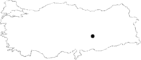
| Location: The mound lies approximately 42 km east of Malatya; in Kuyucak/Kiyicak (Pirot) Village of the town of Merkez Kale; on the southern bank of Euphrates. It also known Ikiz Mound. |
| Geography and Environment: Previous to its inundation; the mound used to lie on a low elevation of an aged terrace of Euphrates. It is also called by the name of Ikiz Höyük since it has two cones. The 25 m high; large mound measures 140 m in South-North axis and 95 m in East-West axis. The eastern cone is elliptic and steeper; while the western cone is lower and broad [Karaca 1981:109-110]. The lower terraces of the mound and the western elevation is occupied by the modern village and the east of it is severely destructed by ditches and pits due to taking away soil and stones from the mound by villagers [Karaca 1983:69-70]. |
| Destruction Details: The mound is flooded by dam reservoir [TAYEx 15.8.2003]. |